Khar Us Nuur reedbeds with Jargalant Hairkhan Uul in the background
The first leg of the Expedition ended in Hovd at midnight. But a hotel room was waiting for us and the hot shower was great. The next day Turuu, the Mongol student/artist who was participating in the first two weeks of the Expedition, and I, met with the guide and driver/cook who would take us on the next leg to Maikhan Nature Reserve and Jargalant Hairkhan Uul, a freestanding mountain which is part of the eastern tail end of the Altai Mountains. I had seen the mountain from a distance in 2006 and had done a painting of it at sunrise. I’d been curious about it and wanting to explore it ever since. Now I would get my wish, in ways I could never have envisioned. But first up was the nature reserve, about which I knew nothing except its location on a map.
We left Hovd the next morning heading south along the shore of Khar Us Nuur, stopping for photos along the way. The lake’s edge has the largest expanses of reedbeds left in Asia which are home to many species of birds and endangered wild boar.
Khar Us Nuur reedbeds
There are very few access points to the lake. The one mentioned in the guidebooks is off the main road and has an observation tower, which is where we had lunch. What a view.
Lunch in the observation tower with a view of Jargalant Hairkhan Uul
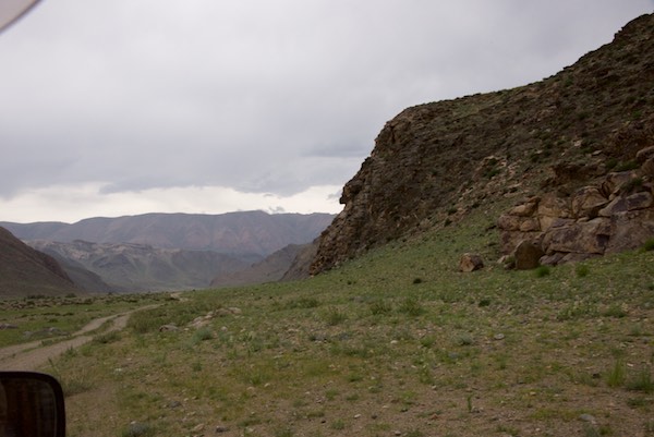
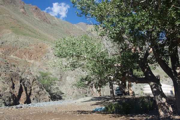
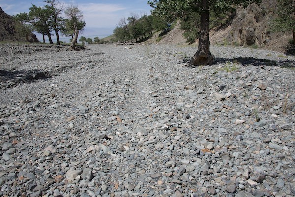
We continued on until the turn from tarmac to earth road, going southwest toward the reserve. Good thing we had a driver who knew the area because there were no signs to indicate which road to take.
The road into the reserve
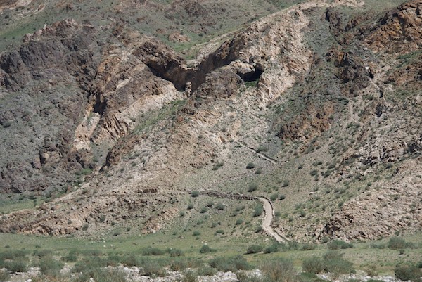
Our guide had told us there was a cave we could visit. That was something I’d never encountered before in Mongolia so definitely wanted to see it.
The cave entrance is the black area to the right of the “v” shaped shadowThe view from the cave entrance, looking up the valley in the direction we would be goingThe cave interior. Even with my wide-angle lens I couldn’t get more than a section. This shows the left side where the cave drops off to some unknown depth. I was told that there were petroglyphs and/or paintings on the wall down below, but without any equipment, not even a flashlight, and no way of really finding out what was down there, there was no way I was going to risk itHere’s the cave entrance, looking out
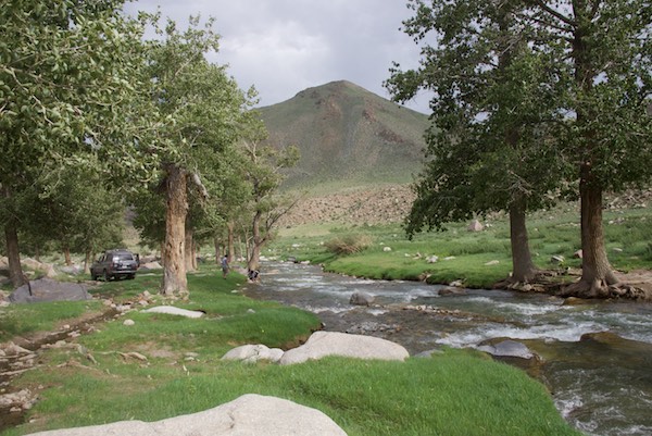
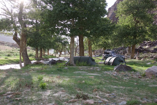
After driving up a beautiful valley with a stream running through it and many aspen trees, we came to this place at the end of the road, our campsite for the night. Wow.
The driver asked if this place would be ok to camp at. What would anyone say but “Yes!”?I pitched my tent so that I would have a view of the stream when I crawled out of it in the morning.
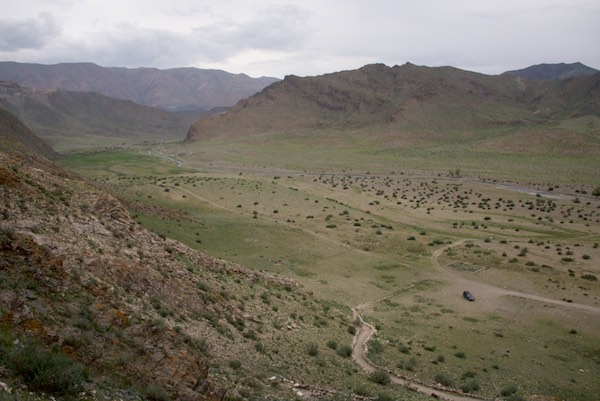
Turuu and I painted and sketched in the evening and the next morning and then it was time to move on. Back down the valley we traveled with our next destination in view….Jargalant Hairkhan Uul.
Back out the earth road through the reserve
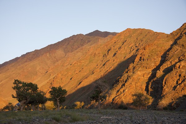
I had only seen the mountain, as I mentioned above, from a fair distance. I really had no idea of its scale until we started to get close. But I did know that we were heading into snow leopard habitat, where the World Wildlife Fund Mongolia has been doing research for some years. In a later post, I’ll be sharing what I learned about snow leopards in this part of Mongolia.
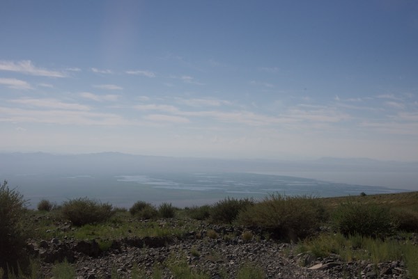
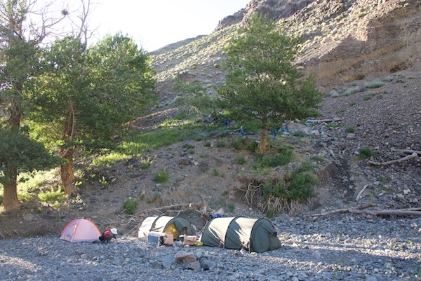
The central section of the mountain, with what looked to me to be the highest point on the rightThe entrance to the valley where we would spend the next two nights.We drove awhile on the upland slope before we got to the mountain proper. Before we went into the valley we stopped and I got some photos looking back the way we’d come. This shows Khar Us Nuur’s open water on the right and the reedbeds we saw on the way to the nature reserve in the middle and leftOnce we got to the valley proper we found ourselves working our way up a very rocky dry riverbed dotted with aspen trees, some of them clearly very oldAt the end of the road was one ger. We visited with the family for bit, learning that a snow leopard had killed another herder’s goat two days earler not far away from where we were, and then headed back down the valley to find a campsite for the next two nightsIt was hot so we looked for a place that had shade in the afternoon. As it happened the best spot was here, right at the base of a sacred springOn the valley floor and slopes wild flowers were blooming, including these delicate white poppiesAll the early clouds had gone away and it was a beautiful wam summer evening. First the moon came upThe the sun started to set and the mountain peaks and slopes of the valley glowed in the intense orange lightLooking west and somewhat south out the valley entrance the colors were more subtle
It was great having the whole next day to be in this place and have time to amble about and take pictures.
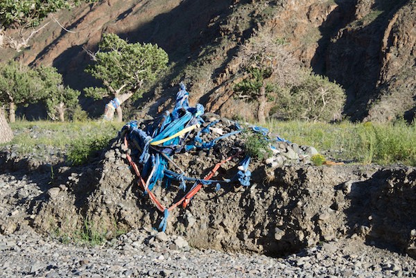
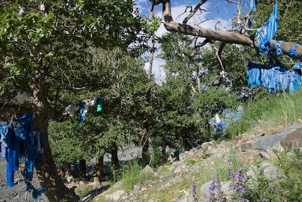
The angle of the light let me get a photo of the “road” that goes into and up the valleyInscription painted on one of the rocksIt was a hot day. I managed to get in some painting time in the morning by finding a place in the shade. Turuu read and dozed. How he managed to stay on this tree limb for some hours was impressive.This ovoo was directly across from the spring
The second afternoon and evening it clouded up, so no evening light. I noted in my journal that at about 9:24pm bladder pressure reached the point where I had to go out and deal with it. It had already gotten quite windy and there had been a little rain on and off. I was back in my tent at (I checked) 9:27pm when a heavy downpour hit like someone had flipped a switch. Good timing.
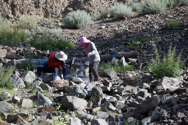
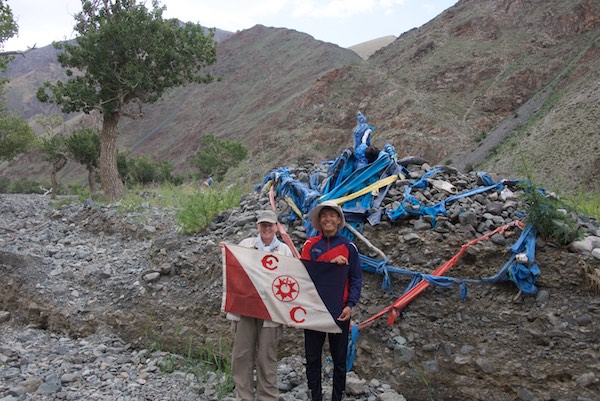
Turuu and our guide filling water bottles from the spring.Trees next to the spring festooned with khadag, the offering scarvesSince my WildArt Mongolia Expedition was also an Explorers Club Flag Expedition duriing which I was required to display the Flag, I had Turuu’s and my picture taken with it in front of the ovoo
As we headed back down the mountain after lunch, our guide said that the driver knew of another road that accessed the lakeshore, so of course we had to see that.
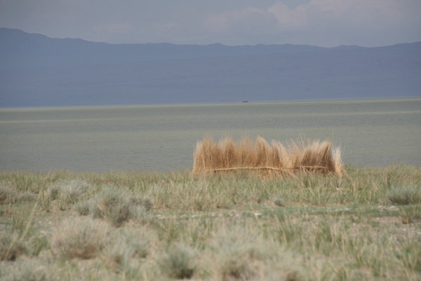
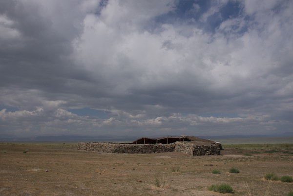
Khar Us Nuur in the background with something on the shore I’d not seen before…an animal enclosure made from dried reedsThis is a very nicely built winter shelter for livestock. The presence of these shelters tells one where a herder will spend the winter.We passed a family unloading their belongings, including their ger, from this truck. Imagine being able to drive to a lake-front location like this and set up anywhere you want toThe driver had mentioned something about a “beach” and near the end of the road, there it was…a real sandy beach
The beach was the last stop and then it was time to head back to Hovd.
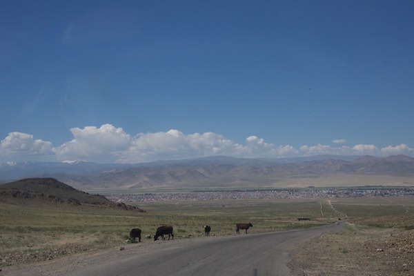
Sandy earth road on the way back to the tarmacWe saw a number of trucks with horses over the previous days, a sure sign that there was a naadam happening in the area and there was going to be one the next day in Chandmani. Unfortunately, our schedule didn’t allow time to go to itComiing up over a last pass before dropping down to Hovd there was this quite elaborate ovooHovd in the distance
Back in town, Turuu had to catch a flight back to Ulaanbaatar to register for university. I was sorry he couldn’t stay for the rest of the trip, but very glad he was along for most of it.
The next destination for the Expedition was also a place that I had been to for a very short time in 2006, Khomyn Tal, one of the three places where takhi/Przewalski’s horses have been reintroduced. The journey there and the three days I spent with the horses will be the subject of my next post.